Rugby - Pinders Lane
Introduction
The photograph on this page of Rugby - Pinders Lane by Ian Rob as part of the Geograph project.
The Geograph project started in 2005 with the aim of publishing, organising and preserving representative images for every square kilometre of Great Britain, Ireland and the Isle of Man.

There are currently over 7.5m images from over 14,400 individuals and you can help contribute to the project by visiting https://www.geograph.org.uk
Rugby - Pinders Lane
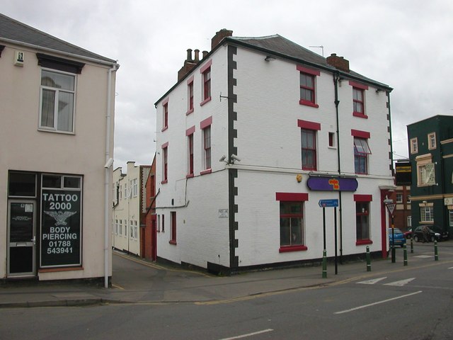
Image: © Ian Rob Taken: 21 Mar 2006
Pinders Lane runs along the back of Railway Terrace and leads to Northlands School. The public house on the corner of Albert Street is called the Cruise Inn but was better known as the Globe during the last Century.
Images are licensed for reuse under creativecommons.org/licenses/by-sa/2.0
Image Location
Latitude
52.375203
Longitude
-1.256676