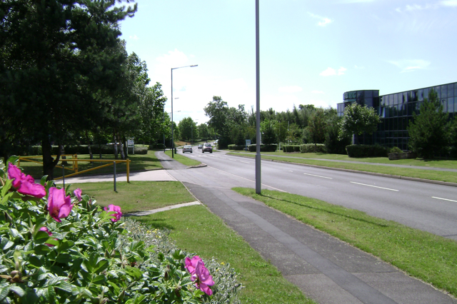
Tachbrook Park Drive, Leamington
Introduction
The photograph on this page of Tachbrook Park Drive, Leamington by Robin Stott as part of the Geograph project.
The Geograph project started in 2005 with the aim of publishing, organising and preserving representative images for every square kilometre of Great Britain, Ireland and the Isle of Man.
There are currently over 7.5m images from over 14,400 individuals and you can help contribute to the project by visiting https://www.geograph.org.uk

Image: © Robin Stott Taken: 23 Jul 2009
The road becomes more leafy as it goes south. Tachbrook Park has evolved into a mix of business, retail and leisure uses. It was a response to the approach of the M40 extension in the 1980s, filling in the urban fringe farmland between existing older industrial estates south of Leamington. Parts of those have been redeveloped or await redevelopment.

