Monmouthshire & Brecon Canal, Llangattock
Introduction
The photograph on this page of Monmouthshire & Brecon Canal, Llangattock by Stephen McKay as part of the Geograph project.
The Geograph project started in 2005 with the aim of publishing, organising and preserving representative images for every square kilometre of Great Britain, Ireland and the Isle of Man.

There are currently over 7.5m images from over 14,400 individuals and you can help contribute to the project by visiting https://www.geograph.org.uk
Monmouthshire & Brecon Canal, Llangattock
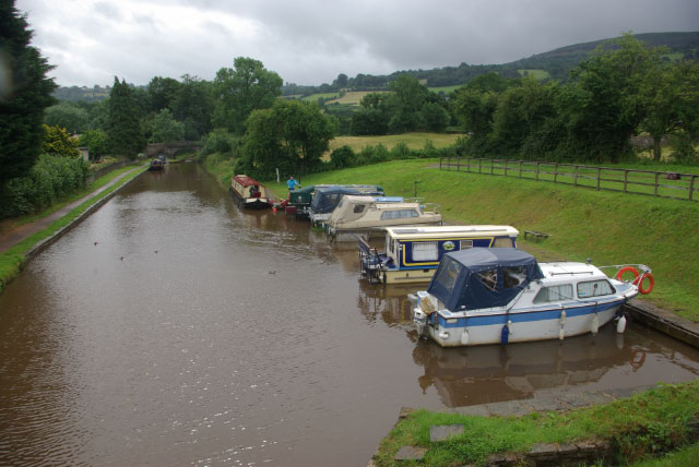
Image: © Stephen McKay Taken: 21 Jul 2009
Seen from bridge 115, there is a small basin with a handful of boats beyond which a hire boat is being replenished at the British Waterways Board water point.
Images are licensed for reuse under creativecommons.org/licenses/by-sa/2.0
Image Location
Latitude
51.847837
Longitude
-3.15218