Northchurch: Ruined Chapel of St Mary Magdalene (Marlin Chapel)
Introduction
The photograph on this page of Northchurch: Ruined Chapel of St Mary Magdalene (Marlin Chapel) by Nigel Cox as part of the Geograph project.
The Geograph project started in 2005 with the aim of publishing, organising and preserving representative images for every square kilometre of Great Britain, Ireland and the Isle of Man.

There are currently over 7.5m images from over 14,400 individuals and you can help contribute to the project by visiting https://www.geograph.org.uk
Northchurch: Ruined Chapel of St Mary Magdalene (Marlin Chapel)
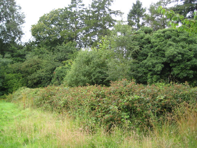
Image: © Nigel Cox Taken: 19 Jul 2009
I think that these brambles conceal the ruined Chapel of St Mary Magdalene, the so-called Marlin Chapel. They are certainly in a regular rectangular pattern, with this being the long south side, and in the correct location according to the map. The chapel was probably built in the 13th century, for Sir Lawrence de Broc, and Sir Richard de Berchamsted was a chaplain there. Many similar chapels were built at this time due to a rapid increase in the population, and St Mary Magdalene is one of as many as 43 that served this part of the Chilterns. This and other private manorial chapels were often not granted the right to carry out baptism, marriage or burial rites, as the larger parish churches were unwilling to lose the income received by carrying out these ceremonies. The remains of a medieval moated site, and its associated fishpond, lie a few yards east of the chapel. These may well have been built at the same time as the chapel. It is unknown when the chapel fell into a ruinous state. However the 1884 edition of the Ordnance Survey's 6" to the mile mapping shows the chapel and describes it as "Remains of".
Images are licensed for reuse under creativecommons.org/licenses/by-sa/2.0
Image Location
Latitude
51.754682
Longitude
-0.606267