Cholesbury: County boundary
Introduction
The photograph on this page of Cholesbury: County boundary by Nigel Cox as part of the Geograph project.
The Geograph project started in 2005 with the aim of publishing, organising and preserving representative images for every square kilometre of Great Britain, Ireland and the Isle of Man.

There are currently over 7.5m images from over 14,400 individuals and you can help contribute to the project by visiting https://www.geograph.org.uk
Cholesbury: County boundary
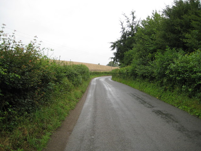
Image: © Nigel Cox Taken: 19 Jul 2009
The county boundary between Buckinghamshire (to the left) and Hertfordshire (to the right) runs down the centre of this unnamed lane here.
Images are licensed for reuse under creativecommons.org/licenses/by-sa/2.0
Image Location
Latitude
51.748295
Longitude
-0.613562