Berkhamsted: A416 Kingshill Way
Introduction
The photograph on this page of Berkhamsted: A416 Kingshill Way by Nigel Cox as part of the Geograph project.
The Geograph project started in 2005 with the aim of publishing, organising and preserving representative images for every square kilometre of Great Britain, Ireland and the Isle of Man.

There are currently over 7.5m images from over 14,400 individuals and you can help contribute to the project by visiting https://www.geograph.org.uk
Berkhamsted: A416 Kingshill Way
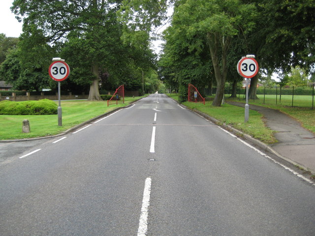
Image: © Nigel Cox Taken: 19 Jul 2009
Kingshill Way has always been the main entry road into Berkhamsted from the Chesham direction and the 1940s Ordnance Survey map shows the same arrangements that are in place today. However what is new are the red town entry railings on either side of the road, just a little way along from the 30 mph signs, and designed and positioned to psychologically emphasise that you are now entering a residential area.
Images are licensed for reuse under creativecommons.org/licenses/by-sa/2.0
Image Location
Latitude
51.75159
Longitude
-0.573332