Verwood, plantation
Introduction
The photograph on this page of Verwood, plantation by Mike Faherty as part of the Geograph project.
The Geograph project started in 2005 with the aim of publishing, organising and preserving representative images for every square kilometre of Great Britain, Ireland and the Isle of Man.

There are currently over 7.5m images from over 14,400 individuals and you can help contribute to the project by visiting https://www.geograph.org.uk
Verwood, plantation
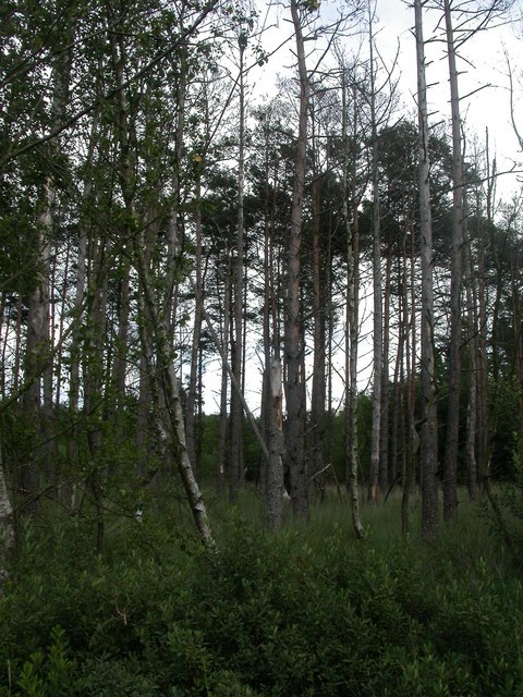
Image: © Mike Faherty Taken: 24 Jul 2009
Conifers on the western edge of Ringwood Forest, looking sickly, probably because of the damp conditions here.
Images are licensed for reuse under creativecommons.org/licenses/by-sa/2.0
Image Location


Leaflet Map data © OpenStreetMap
Latitude
50.870233
Longitude
-1.847889