St Oswald's Way, north of Fallowlees
Introduction
The photograph on this page of St Oswald's Way, north of Fallowlees by Oliver Dixon as part of the Geograph project.
The Geograph project started in 2005 with the aim of publishing, organising and preserving representative images for every square kilometre of Great Britain, Ireland and the Isle of Man.

There are currently over 7.5m images from over 14,400 individuals and you can help contribute to the project by visiting https://www.geograph.org.uk
St Oswald's Way, north of Fallowlees
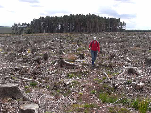
Image: © Oliver Dixon Taken: 15 Jul 2009
St Oswald's Way http://www.stoswaldsway.com/home.html is a 156 Km long trail which runs from Heavenfield near Hexham to Holy Island on the Northumberland coast (although more commonly walked in the opposite direction). Here, the scarcely traceable path crosses a clear-felled area to the north of Fallowlees Farm in Harwood Forest.
Images are licensed for reuse under creativecommons.org/licenses/by-sa/2.0
Image Location


Leaflet Map data © OpenStreetMap
Latitude
55.245767
Longitude
-1.969615