Whitelands Bridge
Introduction
The photograph on this page of Whitelands Bridge by Gerald England as part of the Geograph project.
The Geograph project started in 2005 with the aim of publishing, organising and preserving representative images for every square kilometre of Great Britain, Ireland and the Isle of Man.

There are currently over 7.5m images from over 14,400 individuals and you can help contribute to the project by visiting https://www.geograph.org.uk
Whitelands Bridge
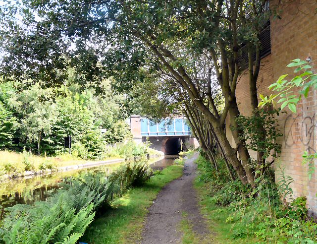
Image: © Gerald England Taken: 23 Jul 2009
Approaching Whitelands bridge on the Ashton Canal. Beyond the bridge it changes to the Huddersfield Narrow Canal.
Images are licensed for reuse under creativecommons.org/licenses/by-sa/2.0
Image Location


Leaflet Map data © OpenStreetMap
Latitude
53.485433
Longitude
-2.089176