Alma Bridge
Introduction
The photograph on this page of Alma Bridge by Gerald England as part of the Geograph project.
The Geograph project started in 2005 with the aim of publishing, organising and preserving representative images for every square kilometre of Great Britain, Ireland and the Isle of Man.

There are currently over 7.5m images from over 14,400 individuals and you can help contribute to the project by visiting https://www.geograph.org.uk
Alma Bridge
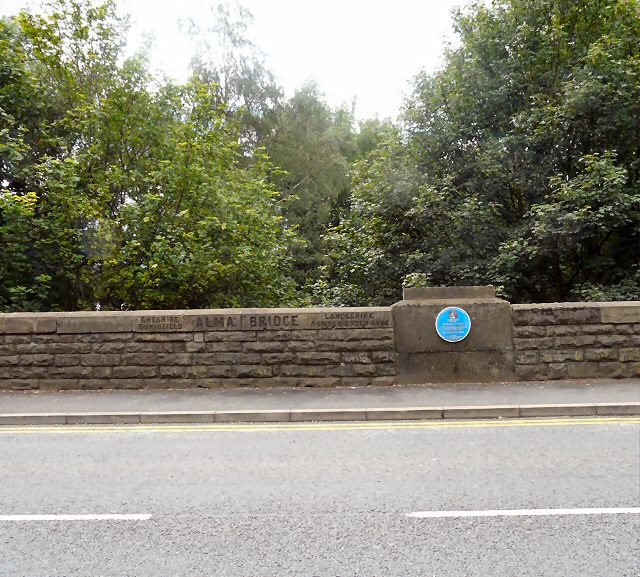
Image: © Gerald England Taken: 23 Jul 2009
Bridge over the River Tame at the boundary between Dukinfield, Cheshire and Ashton under Lyne, Lancashire. Alma Bridge was built in 1854 and was a Toll Bar with monies collected until 26th June 1902. The blue plaque Image added in 2002 remembers local soldiers who died in the Crimea War.
Images are licensed for reuse under creativecommons.org/licenses/by-sa/2.0
Image Location
Latitude
53.482282
Longitude
-2.094895