Wanborough High Street
Introduction
The photograph on this page of Wanborough High Street by Jonathan Billinger as part of the Geograph project.
The Geograph project started in 2005 with the aim of publishing, organising and preserving representative images for every square kilometre of Great Britain, Ireland and the Isle of Man.

There are currently over 7.5m images from over 14,400 individuals and you can help contribute to the project by visiting https://www.geograph.org.uk
Wanborough High Street
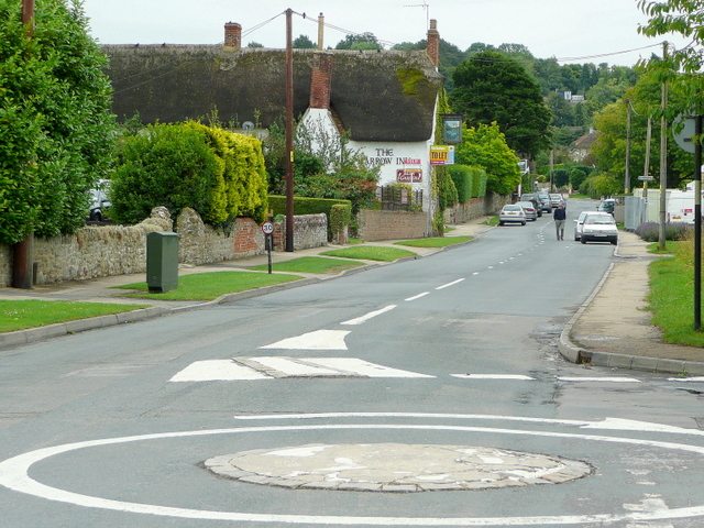
Image: © Jonathan Billinger Taken: 21 Jul 2009
Looking south-east along the line of Roman Ermin Way. The Harrow Inn, one of three pubs within 200m on the street, is To Let.
Images are licensed for reuse under creativecommons.org/licenses/by-sa/2.0
Image Location
Latitude
51.549818
Longitude
-1.696515