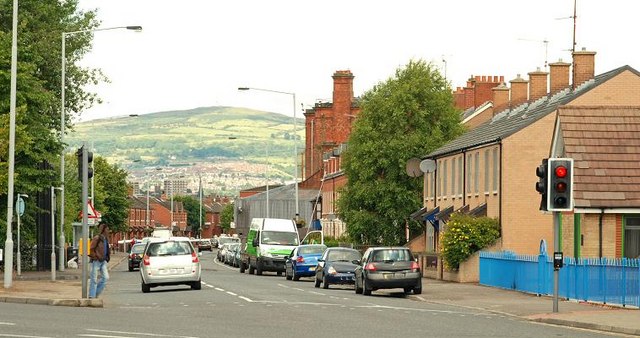
The Mountpottinger Road, Belfast
Introduction
The photograph on this page of The Mountpottinger Road, Belfast by Albert Bridge as part of the Geograph project.
The Geograph project started in 2005 with the aim of publishing, organising and preserving representative images for every square kilometre of Great Britain, Ireland and the Isle of Man.
There are currently over 7.5m images from over 14,400 individuals and you can help contribute to the project by visiting https://www.geograph.org.uk

Image: © Albert Bridge Taken: 22 Jul 2009
Built in the late 1870’s the Mountpottinger Road/Bothar Thulach Phoitinseir originally ran from the Albertbridge Road Image to Bridge End Image Road improvements mean that it now runs to the Mountpottinger Link/Lub Thulach Phoitinseir which, in turn reaches Bridge End via the Short Strand/An Trá Ghearr Image The now demolished (and formerly well-known) Prices of Mountpottinger was (approximately) on the right of the photo. The area has been extensively redeveloped.

