Footpath between Glebe Road and Holbrook Road
Introduction
The photograph on this page of Footpath between Glebe Road and Holbrook Road by John Sutton as part of the Geograph project.
The Geograph project started in 2005 with the aim of publishing, organising and preserving representative images for every square kilometre of Great Britain, Ireland and the Isle of Man.

There are currently over 7.5m images from over 14,400 individuals and you can help contribute to the project by visiting https://www.geograph.org.uk
Footpath between Glebe Road and Holbrook Road
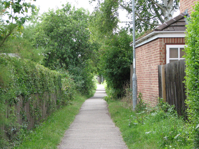
Image: © John Sutton Taken: 23 Jul 2009
Known to locals as Pig Path as it leads to allotments which were a pig farm during the Second World War.
Images are licensed for reuse under creativecommons.org/licenses/by-sa/2.0
Image Location


Leaflet Map data © OpenStreetMap
Latitude
52.18235
Longitude
0.14633