The Albertbridge Road, Belfast
Introduction
The photograph on this page of The Albertbridge Road, Belfast by Albert Bridge as part of the Geograph project.
The Geograph project started in 2005 with the aim of publishing, organising and preserving representative images for every square kilometre of Great Britain, Ireland and the Isle of Man.

There are currently over 7.5m images from over 14,400 individuals and you can help contribute to the project by visiting https://www.geograph.org.uk
The Albertbridge Road, Belfast
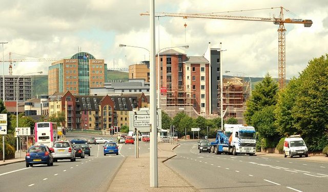
Image: © Albert Bridge Taken: 22 Jul 2009
Part of the route, from much of suburban east Belfast, to the city centre. The Albert Bridge Image is at lower left (just right of the bus). The Laganside developments make up most of the background. Pottingers Quay Image is the red-brick building to the right of the lampposts (middle).
Images are licensed for reuse under creativecommons.org/licenses/by-sa/2.0
Image Location
Latitude
54.595901
Longitude
-5.910183