Upper West End Farm
Introduction
The photograph on this page of Upper West End Farm by Martin Addison as part of the Geograph project.
The Geograph project started in 2005 with the aim of publishing, organising and preserving representative images for every square kilometre of Great Britain, Ireland and the Isle of Man.

There are currently over 7.5m images from over 14,400 individuals and you can help contribute to the project by visiting https://www.geograph.org.uk
Upper West End Farm
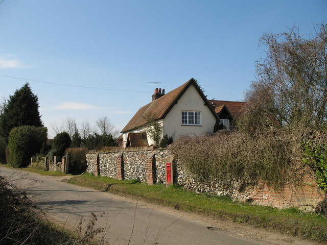
Image: © Martin Addison Taken: 23 Mar 2006
The farmhouse of Upper West End Farm sits behind a Flint wall, more reminiscent of Norfolk than Hertfordshire. The wall mounted postbox is Victorian.
Images are licensed for reuse under creativecommons.org/licenses/by-sa/2.0
Image Location
Latitude
51.760074
Longitude
-0.172847