Abbey Field and Apache
Introduction
The photograph on this page of Abbey Field and Apache by Glyn Baker as part of the Geograph project.
The Geograph project started in 2005 with the aim of publishing, organising and preserving representative images for every square kilometre of Great Britain, Ireland and the Isle of Man.

There are currently over 7.5m images from over 14,400 individuals and you can help contribute to the project by visiting https://www.geograph.org.uk
Abbey Field and Apache
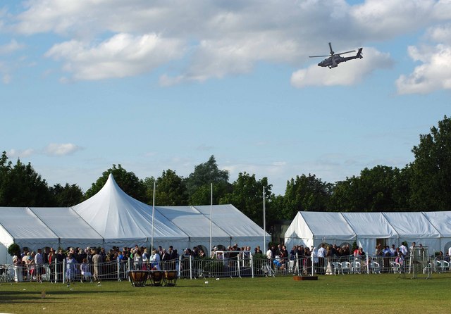
Image: © Glyn Baker Taken: 18 Jul 2009
Flypast by the Army Air Corps at the 2009 Colchester Military Festival http://www.gazette-news.co.uk/news/9495706.Military_show_will_rise_from_the_ashes/r/?ref=rss on Abbey Field. The Abbey Field is used as a public open space and is managed by the Garrison. For a closer look at the helicopter see Image
Images are licensed for reuse under creativecommons.org/licenses/by-sa/2.0
Image Location
Latitude
51.879197
Longitude
0.898191