East Cliff Close, Dawlish
Introduction
The photograph on this page of East Cliff Close, Dawlish by Robin Stott as part of the Geograph project.
The Geograph project started in 2005 with the aim of publishing, organising and preserving representative images for every square kilometre of Great Britain, Ireland and the Isle of Man.

There are currently over 7.5m images from over 14,400 individuals and you can help contribute to the project by visiting https://www.geograph.org.uk
East Cliff Close, Dawlish
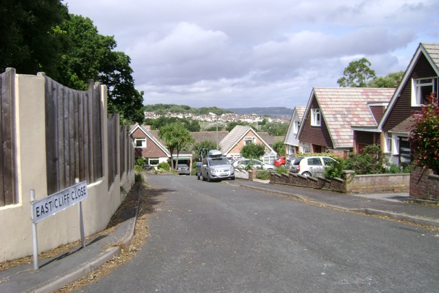
Image: © Robin Stott Taken: 19 Jul 2009
A steep cul-de-sac with, from the top, a view across to the Henty Avenue residential area in the opposite corner of the square.
Images are licensed for reuse under creativecommons.org/licenses/by-sa/2.0
Image Location
Latitude
50.583498
Longitude
-3.466121