Hampton Rise, Dromore
Introduction
The photograph on this page of Hampton Rise, Dromore by Dean Molyneaux as part of the Geograph project.
The Geograph project started in 2005 with the aim of publishing, organising and preserving representative images for every square kilometre of Great Britain, Ireland and the Isle of Man.

There are currently over 7.5m images from over 14,400 individuals and you can help contribute to the project by visiting https://www.geograph.org.uk
Hampton Rise, Dromore
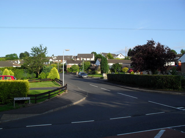
Image: © Dean Molyneaux Taken: 21 Jul 2009
Hampton Rise was gradually built from 1982 until 1988, at which point a further development at the top (Hampton Court) was started. The entire development was completed in 1996.
Images are licensed for reuse under creativecommons.org/licenses/by-sa/2.0
Image Location
Latitude
54.410835
Longitude
-6.160375