Junction of Weatherill Road with Lower Brand Lane, Honiton
Introduction
The photograph on this page of Junction of Weatherill Road with Lower Brand Lane, Honiton by Derek Harper as part of the Geograph project.
The Geograph project started in 2005 with the aim of publishing, organising and preserving representative images for every square kilometre of Great Britain, Ireland and the Isle of Man.

There are currently over 7.5m images from over 14,400 individuals and you can help contribute to the project by visiting https://www.geograph.org.uk
Junction of Weatherill Road with Lower Brand Lane, Honiton
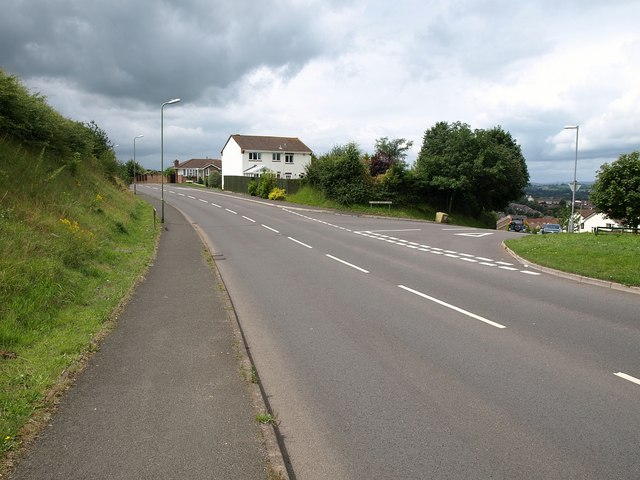
Image: © Derek Harper Taken: 18 Jul 2009
Another view of the junction shown in Image Weatherill Road, the main road here, forms a loop around the southern edge of the estates.
Images are licensed for reuse under creativecommons.org/licenses/by-sa/2.0
Image Location
Latitude
50.792629
Longitude
-3.18605