Stoney Lane
Introduction
The photograph on this page of Stoney Lane by Derek Harper as part of the Geograph project.
The Geograph project started in 2005 with the aim of publishing, organising and preserving representative images for every square kilometre of Great Britain, Ireland and the Isle of Man.

There are currently over 7.5m images from over 14,400 individuals and you can help contribute to the project by visiting https://www.geograph.org.uk
Stoney Lane
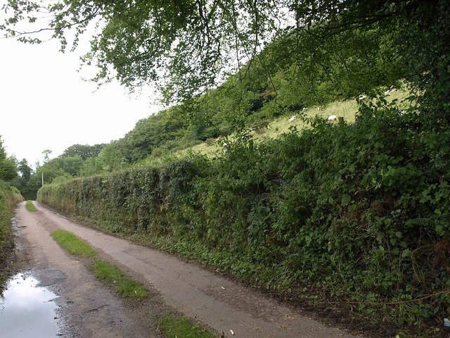
Image: © Derek Harper Taken: 18 Jul 2009
A journey along this circuitous lane takes you into deepest east Devon, within a kilometre or so of Honiton. Here, beneath a field of sheep, it approaches its junction with Marlpits Hill, which runs alongside the trees at upper right.
Images are licensed for reuse under creativecommons.org/licenses/by-sa/2.0
Image Location
Latitude
50.788206
Longitude
-3.178845