St Georges Mews
Introduction
The photograph on this page of St Georges Mews by Simon Carey as part of the Geograph project.
The Geograph project started in 2005 with the aim of publishing, organising and preserving representative images for every square kilometre of Great Britain, Ireland and the Isle of Man.

There are currently over 7.5m images from over 14,400 individuals and you can help contribute to the project by visiting https://www.geograph.org.uk
St Georges Mews
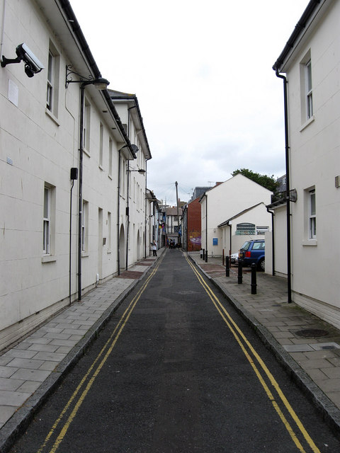
Image: © Simon Carey Taken: 20 Jul 2009
Narrow street linking Gloucester Street with Trafalgar Street. Until the 1990s it retained its original setts but these have now gone with a general tidying up of the street.
Images are licensed for reuse under creativecommons.org/licenses/by-sa/2.0
Image Location
Latitude
50.827666
Longitude
-0.136364