Waltham on the Wolds Station Road Bridge
Introduction
The photograph on this page of Waltham on the Wolds Station Road Bridge by John Sutton as part of the Geograph project.
The Geograph project started in 2005 with the aim of publishing, organising and preserving representative images for every square kilometre of Great Britain, Ireland and the Isle of Man.

There are currently over 7.5m images from over 14,400 individuals and you can help contribute to the project by visiting https://www.geograph.org.uk
Waltham on the Wolds Station Road Bridge
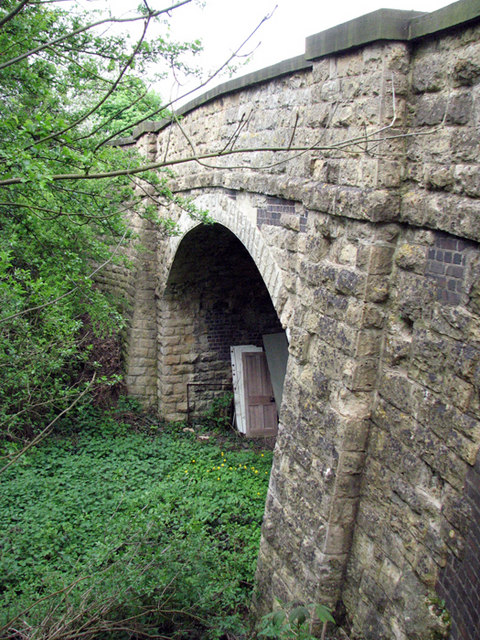
Image: © John Sutton Taken: 29 Apr 2009
Unlike the blue-brick "bridge in a field" not far to the NW, this one is largely of limestone. Waltham Station was immediately to the SW of the bridge; to the NE there were sidings serving a very short-lived (1885-6) ironstone quarry which ran parallel to Station Road.
Images are licensed for reuse under creativecommons.org/licenses/by-sa/2.0
Image Location
Latitude
52.832621
Longitude
-0.814866