Avenue leading to Skeagh House
Introduction
The photograph on this page of Avenue leading to Skeagh House by Dean Molyneaux as part of the Geograph project.
The Geograph project started in 2005 with the aim of publishing, organising and preserving representative images for every square kilometre of Great Britain, Ireland and the Isle of Man.

There are currently over 7.5m images from over 14,400 individuals and you can help contribute to the project by visiting https://www.geograph.org.uk
Avenue leading to Skeagh House
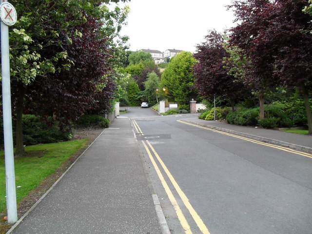
Image: © Dean Molyneaux Taken: 20 Jul 2009
This nameless stretch of tarmac links the Banbridge Road with Skeagh House and more recently Bishopshill (the entrance to which can be seen to the right). Skeagh House is a residential care home.
Images are licensed for reuse under creativecommons.org/licenses/by-sa/2.0
Image Location
Latitude
54.412597
Longitude
-6.153379