Drake Avenue, Mayland
Introduction
The photograph on this page of Drake Avenue, Mayland by Trevor Harris as part of the Geograph project.
The Geograph project started in 2005 with the aim of publishing, organising and preserving representative images for every square kilometre of Great Britain, Ireland and the Isle of Man.

There are currently over 7.5m images from over 14,400 individuals and you can help contribute to the project by visiting https://www.geograph.org.uk
Drake Avenue, Mayland
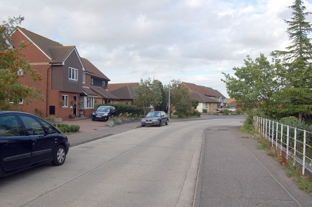
Image: © Trevor Harris Taken: 19 Jul 2009
Drake Avenue is one of several roads serving this residential area called after water-birds - Heron Way, Curlew Avenue, Tern Close etc. Fittingly, behind the fence on the left is a duck pond owned by the residents of Grebe Close.
Images are licensed for reuse under creativecommons.org/licenses/by-sa/2.0
Image Location
Latitude
51.680455
Longitude
0.763082