Beaumaris milestone
Introduction
The photograph on this page of Beaumaris milestone by Paul Harrop as part of the Geograph project.
The Geograph project started in 2005 with the aim of publishing, organising and preserving representative images for every square kilometre of Great Britain, Ireland and the Isle of Man.

There are currently over 7.5m images from over 14,400 individuals and you can help contribute to the project by visiting https://www.geograph.org.uk
Beaumaris milestone
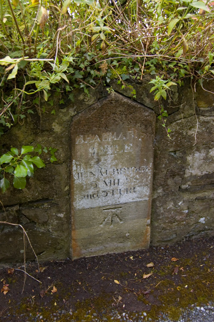
Image: © Paul Harrop Taken: 14 Jul 2009
Set into the wall on the south side of the A545, it reads "Beaumaris 1 mile. Menai Bridge 3 miles and 3 furlongs".
Images are licensed for reuse under creativecommons.org/licenses/by-sa/2.0
Image Location
Latitude
53.252885
Longitude
-4.108622