Slipway and Foreshore, Beaumaris
Introduction
The photograph on this page of Slipway and Foreshore, Beaumaris by Paul Harrop as part of the Geograph project.
The Geograph project started in 2005 with the aim of publishing, organising and preserving representative images for every square kilometre of Great Britain, Ireland and the Isle of Man.

There are currently over 7.5m images from over 14,400 individuals and you can help contribute to the project by visiting https://www.geograph.org.uk
Slipway and Foreshore, Beaumaris
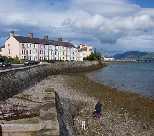
Image: © Paul Harrop Taken: 13 Jul 2009
Looking from the top of the slipway towards Chimney Corner at the end of Castle Street.
Images are licensed for reuse under creativecommons.org/licenses/by-sa/2.0
Image Location
Latitude
53.261904
Longitude
-4.095766