Road to Portman Farm
Introduction
The photograph on this page of Road to Portman Farm by Derek Harper as part of the Geograph project.
The Geograph project started in 2005 with the aim of publishing, organising and preserving representative images for every square kilometre of Great Britain, Ireland and the Isle of Man.

There are currently over 7.5m images from over 14,400 individuals and you can help contribute to the project by visiting https://www.geograph.org.uk
Road to Portman Farm
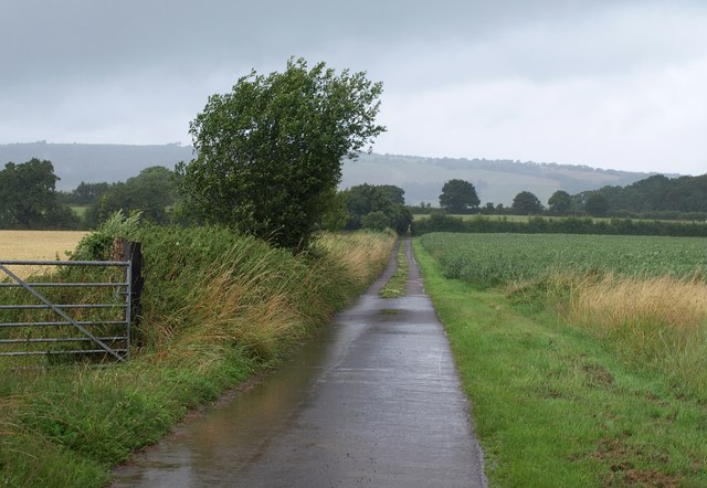
Image: © Derek Harper Taken: 17 Jul 2009
This is followed by footpath T 4/30 from the A358. Taken from beside Bishops Lydeard sewage treatment works.
Images are licensed for reuse under creativecommons.org/licenses/by-sa/2.0
Image Location


Leaflet Map data © OpenStreetMap
Latitude
51.053066
Longitude
-3.167582