Castle Street
Introduction
The photograph on this page of Castle Street by Simon Carey as part of the Geograph project.
The Geograph project started in 2005 with the aim of publishing, organising and preserving representative images for every square kilometre of Great Britain, Ireland and the Isle of Man.

There are currently over 7.5m images from over 14,400 individuals and you can help contribute to the project by visiting https://www.geograph.org.uk
Castle Street
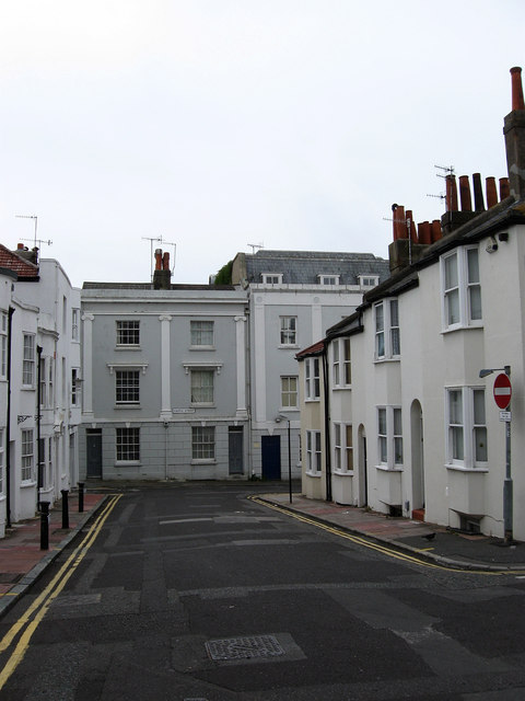
Image: © Simon Carey Taken: 20 Jul 2009
Small side street linking Western Road with Preston Street and built as the town began pushing westwards down Western Road towards Hove. The street itself runs south then turns 90 degrees and continues westwards.
Images are licensed for reuse under creativecommons.org/licenses/by-sa/2.0
Image Location
Latitude
50.823463
Longitude
-0.149168