Millicent Fawcett Court
Introduction
The photograph on this page of Millicent Fawcett Court by Arb as part of the Geograph project.
The Geograph project started in 2005 with the aim of publishing, organising and preserving representative images for every square kilometre of Great Britain, Ireland and the Isle of Man.

There are currently over 7.5m images from over 14,400 individuals and you can help contribute to the project by visiting https://www.geograph.org.uk
Millicent Fawcett Court
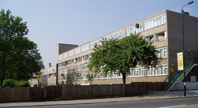
Image: © Arb Taken: 8 Jun 2006
A small, award-winning deck access council estate, built 1969-70 comprising three blocks arranged as an elongated "u", the long axis running north-south, about four stories high. Named after Millicent Fawcett, suffragist and early feminist. The eastern part of the estate is built over the Moselle River, which was re-culverted during construction of the estate. There have been buildings on this site since at least 1619. Text adapted from Wikipedia http://en.wikipedia.org/wiki/Lordship_Lane,_Haringey
Images are licensed for reuse under creativecommons.org/licenses/by-sa/2.0
Image Location
Latitude
51.598254
Longitude
-0.06918