Clandon Road, Burnt Common.
Introduction
The photograph on this page of Clandon Road, Burnt Common. by Colin Smith as part of the Geograph project.
The Geograph project started in 2005 with the aim of publishing, organising and preserving representative images for every square kilometre of Great Britain, Ireland and the Isle of Man.

There are currently over 7.5m images from over 14,400 individuals and you can help contribute to the project by visiting https://www.geograph.org.uk
Clandon Road, Burnt Common.
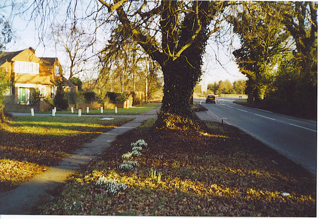
Image: © Colin Smith Taken: Unknown
Residential area in a commuter village east of Guildford with good road connections to the busy A3. This is taken looking south towards the bridge across the A3.
Images are licensed for reuse under creativecommons.org/licenses/by-sa/2.0
Image Location
Latitude
51.280196
Longitude
-0.513137