Carr Lane Level Crossing, Moreton
Introduction
The photograph on this page of Carr Lane Level Crossing, Moreton by El Pollock as part of the Geograph project.
The Geograph project started in 2005 with the aim of publishing, organising and preserving representative images for every square kilometre of Great Britain, Ireland and the Isle of Man.

There are currently over 7.5m images from over 14,400 individuals and you can help contribute to the project by visiting https://www.geograph.org.uk
Carr Lane Level Crossing, Moreton
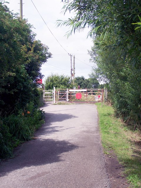
Image: © El Pollock Taken: 19 Jul 2009
Once you go beyond the houses on Carr Lane, the landscape is little-changed since the 1960s. This is a section of the railway between Moreton & Meols stations. Nowadays, this level crossing is only used by pedestrians walking from Moreton to Dove Point in Meols. There are no railway personnel, immediately available, to facilitate vehicles to cross. Using Birkenhead Road is the simpler, though longer, route for motor vehicles.
Images are licensed for reuse under creativecommons.org/licenses/by-sa/2.0
Image Location
Latitude
53.402422
Longitude
-3.143069