Anchor and Timeball Tower
Introduction
The photograph on this page of Anchor and Timeball Tower by Philip Halling as part of the Geograph project.
The Geograph project started in 2005 with the aim of publishing, organising and preserving representative images for every square kilometre of Great Britain, Ireland and the Isle of Man.

There are currently over 7.5m images from over 14,400 individuals and you can help contribute to the project by visiting https://www.geograph.org.uk
Anchor and Timeball Tower
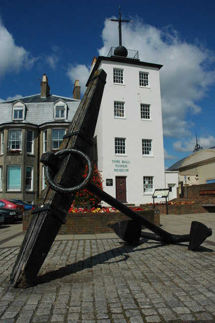
Image: © Philip Halling Taken: 18 Jul 2009
In the days before wireless communication this tower was used to communicate with ships at sea, the time balls drops every hour. Today the tower houses a museum.
Images are licensed for reuse under creativecommons.org/licenses/by-sa/2.0
Image Location
Latitude
51.22106
Longitude
1.403943