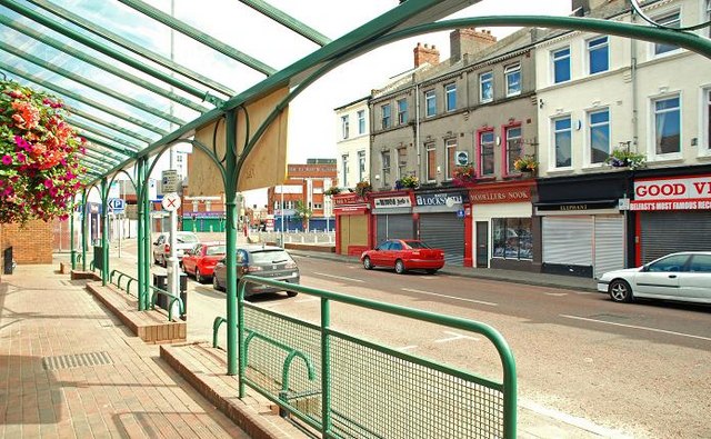
Winetavern Street, Belfast (1)
Introduction
The photograph on this page of Winetavern Street, Belfast (1) by Albert Bridge as part of the Geograph project.
The Geograph project started in 2005 with the aim of publishing, organising and preserving representative images for every square kilometre of Great Britain, Ireland and the Isle of Man.
There are currently over 7.5m images from over 14,400 individuals and you can help contribute to the project by visiting https://www.geograph.org.uk

Image: © Albert Bridge Taken: 19 Jul 2009
Winetavern Street came into existence around 1845/50. By the mid-1960’s it had become part of an inner-city area (with Gresham Street, Smithfield and King Street) which included terrace houses, a range of second-hand shops together with specialist shops selling jewellery, records, books, religious ephemera and (famously) pets. Almost 40 years of the joint effects of bombs and planning prevarication have reduced it (and surrounding area) to but a shadow of its former self. This is the eastern side seen from Smithfield Market Image Continue to Image

