Fighting Cocks
Introduction
The photograph on this page of Fighting Cocks by Hugh Mortimer as part of the Geograph project.
The Geograph project started in 2005 with the aim of publishing, organising and preserving representative images for every square kilometre of Great Britain, Ireland and the Isle of Man.

There are currently over 7.5m images from over 14,400 individuals and you can help contribute to the project by visiting https://www.geograph.org.uk
Fighting Cocks
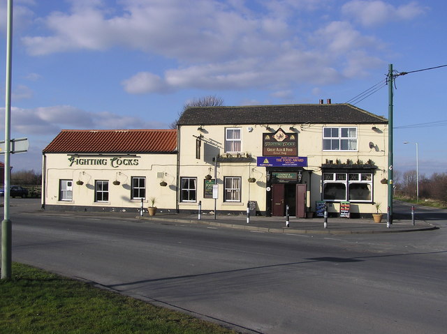
Image: © Hugh Mortimer Taken: 22 Mar 2006
The Fighting Cocks lies on the intersection of two ancient routes. The first running north/south is the Roman road of Rykenild Street which joined Humberside to Newcastle and crossed the River Tees a mile to the south. The second route is an old drovers road running from Carlisle to Yarm. In 1825 the Fighting Cocks Inn became the booking office of the Stockton to Darlington Railway.
Images are licensed for reuse under creativecommons.org/licenses/by-sa/2.0
Image Location
Latitude
54.521675
Longitude
-1.473463