Kelynack
Introduction
The photograph on this page of Kelynack by Derek Harper as part of the Geograph project.
The Geograph project started in 2005 with the aim of publishing, organising and preserving representative images for every square kilometre of Great Britain, Ireland and the Isle of Man.

There are currently over 7.5m images from over 14,400 individuals and you can help contribute to the project by visiting https://www.geograph.org.uk
Kelynack
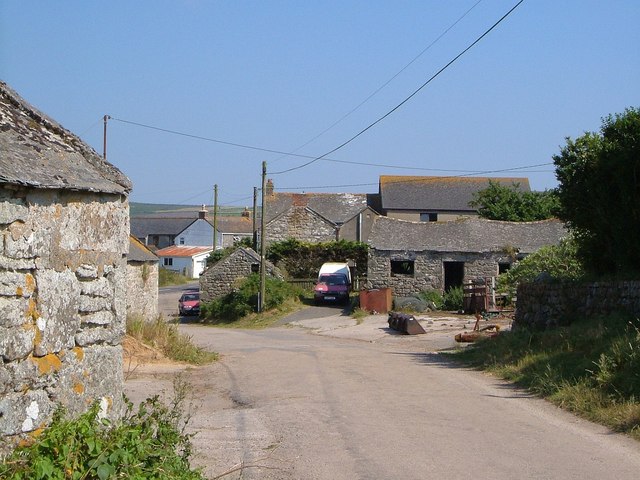
Image: © Derek Harper Taken: 12 Jul 2005
Entering the hamlet along the lane from Cot Mill, with a finely undulating barn roof on the right. Glimpsed on the left is the B3306.
Images are licensed for reuse under creativecommons.org/licenses/by-sa/2.0
Image Location
Latitude
50.110802
Longitude
-5.679891