Sondesplace Farm, Dorking, Surrey
Introduction
The photograph on this page of Sondesplace Farm, Dorking, Surrey by Peter Trimming as part of the Geograph project.
The Geograph project started in 2005 with the aim of publishing, organising and preserving representative images for every square kilometre of Great Britain, Ireland and the Isle of Man.

There are currently over 7.5m images from over 14,400 individuals and you can help contribute to the project by visiting https://www.geograph.org.uk
Sondesplace Farm, Dorking, Surrey
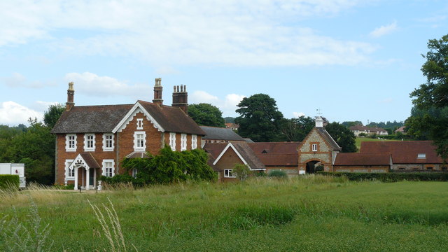
Image: © Peter Trimming Taken: 16 Jul 2009
Now with other buildings visible in the distance, I can imagine this farm being surrounded by fields only 100 years ago. Sondes Place is located to the north of the A25, and Sondesplace Farm to the south. Having studied the OS map, I conclude that the A25, which splits these two properties, is on relatively "modern" construction, and that the original road might have run to the south of Milton Heath. I feel another visit coming to, to test this theory.
Images are licensed for reuse under creativecommons.org/licenses/by-sa/2.0
Image Location
Latitude
51.22944
Longitude
-0.342901