Parkeston Open Space
Introduction
The photograph on this page of Parkeston Open Space by John Lemay as part of the Geograph project.
The Geograph project started in 2005 with the aim of publishing, organising and preserving representative images for every square kilometre of Great Britain, Ireland and the Isle of Man.

There are currently over 7.5m images from over 14,400 individuals and you can help contribute to the project by visiting https://www.geograph.org.uk
Parkeston Open Space
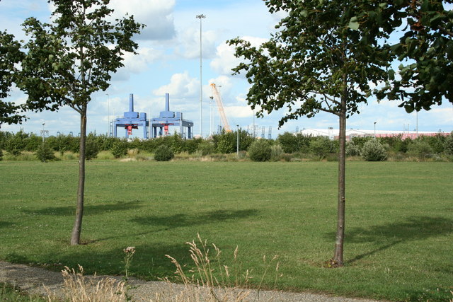
Image: © John Lemay Taken: 18 Jul 2009
A small public open space on the edge of Parkeston. Much nicer than the scrapyard which it replaced a few years ago.
Images are licensed for reuse under creativecommons.org/licenses/by-sa/2.0
Image Location


Leaflet Map data © OpenStreetMap
Latitude
51.942281
Longitude
1.257629