The Bramcote Arms
Introduction
The photograph on this page of The Bramcote Arms by Stephen Craven as part of the Geograph project.
The Geograph project started in 2005 with the aim of publishing, organising and preserving representative images for every square kilometre of Great Britain, Ireland and the Isle of Man.

There are currently over 7.5m images from over 14,400 individuals and you can help contribute to the project by visiting https://www.geograph.org.uk
The Bramcote Arms
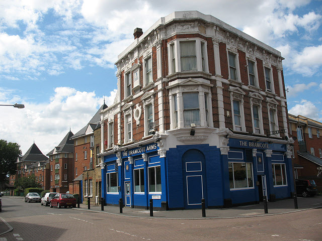
Image: © Stephen Craven Taken: 18 Jul 2009
On the corner of Bramcote Grove and Barkworth Road, a typical 19th century London "local" pub, serving the streets around it. Unlike many others, and unlike the local church Image, this one survived redevelopment of the area and is still open.
Images are licensed for reuse under creativecommons.org/licenses/by-sa/2.0
Image Location
Latitude
51.48664
Longitude
-0.056758