The Cricketers, Westcott, Surrey
Introduction
The photograph on this page of The Cricketers, Westcott, Surrey by Peter Trimming as part of the Geograph project.
The Geograph project started in 2005 with the aim of publishing, organising and preserving representative images for every square kilometre of Great Britain, Ireland and the Isle of Man.

There are currently over 7.5m images from over 14,400 individuals and you can help contribute to the project by visiting https://www.geograph.org.uk
The Cricketers, Westcott, Surrey
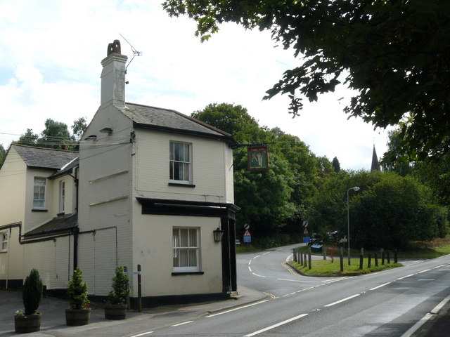
Image: © Peter Trimming Taken: 16 Jul 2009
It looks as though the building next to the pub has been demolished at some stage. Looking up the road, past the junction of Guildford Road and Logmore Lane, the spire of Holy Trinity Church can be seen above the trees.
Images are licensed for reuse under creativecommons.org/licenses/by-sa/2.0
Image Location
Latitude
51.224299
Longitude
-0.367432