In the spinney by Mowsbury Park
Introduction
The photograph on this page of In the spinney by Mowsbury Park by Rich Tea as part of the Geograph project.
The Geograph project started in 2005 with the aim of publishing, organising and preserving representative images for every square kilometre of Great Britain, Ireland and the Isle of Man.

There are currently over 7.5m images from over 14,400 individuals and you can help contribute to the project by visiting https://www.geograph.org.uk
In the spinney by Mowsbury Park
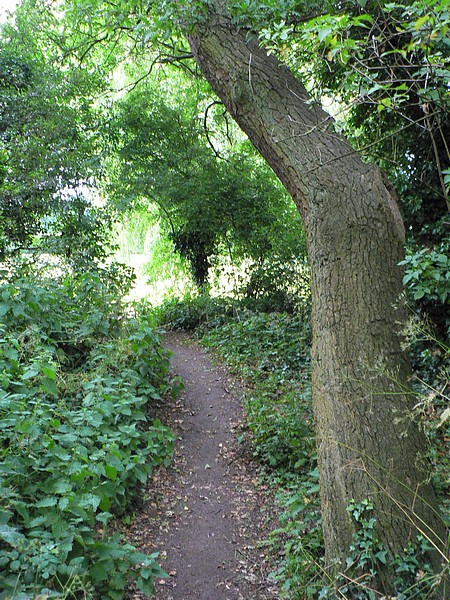
Image: © Rich Tea Taken: 19 Jun 2009
When I played in the spinney as a child, in the 1950's and early 60's, there were fields either side of it. Parkstone Close, on its south side, was built in the late 1960's and Mowsbury Park was laid out in the 1970's.
Images are licensed for reuse under creativecommons.org/licenses/by-sa/2.0
Image Location
Latitude
52.161667
Longitude
-0.45046