Wheatley's Ait
Introduction
The photograph on this page of Wheatley's Ait by David Kemp as part of the Geograph project.
The Geograph project started in 2005 with the aim of publishing, organising and preserving representative images for every square kilometre of Great Britain, Ireland and the Isle of Man.

There are currently over 7.5m images from over 14,400 individuals and you can help contribute to the project by visiting https://www.geograph.org.uk
Wheatley's Ait
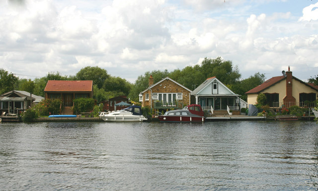
Image: © David Kemp Taken: 16 Jul 2009
There are a number of small chalet-type dwellings such as these at each end of Wheatley's Ait. The centre part of the island is used for industrial purposes.
Images are licensed for reuse under creativecommons.org/licenses/by-sa/2.0
Image Location
Latitude
51.396297
Longitude
-0.417665