Junction of Matford Lane and Wonford Road, Exeter
Introduction
The photograph on this page of Junction of Matford Lane and Wonford Road, Exeter by David Smith as part of the Geograph project.
The Geograph project started in 2005 with the aim of publishing, organising and preserving representative images for every square kilometre of Great Britain, Ireland and the Isle of Man.

There are currently over 7.5m images from over 14,400 individuals and you can help contribute to the project by visiting https://www.geograph.org.uk
Junction of Matford Lane and Wonford Road, Exeter
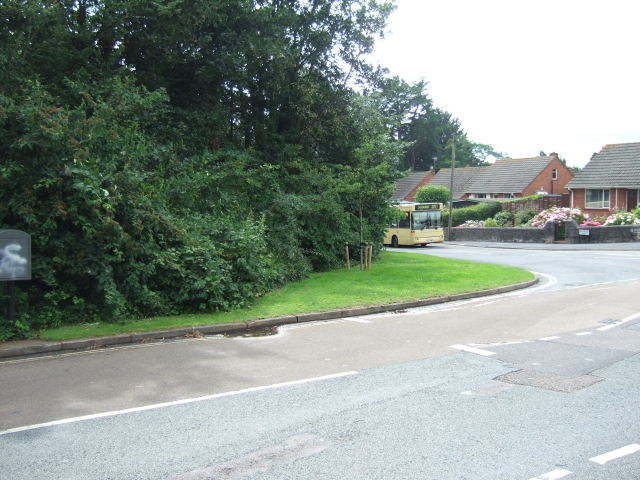
Image: © David Smith Taken: 17 Jul 2009
Maps of this area dating from about 1900 show that the junction originally followed the wall behind the bushes on the left. At some stage the junction has been changed to be a right-angled T-junction, but the boundary of the property at the left remains. (This property is the Lord Mamhead Homes, administered by Exeter Municipal Charities.)
Images are licensed for reuse under creativecommons.org/licenses/by-sa/2.0
Image Location
Latitude
50.717743
Longitude
-3.517338