Board announcing Pontyates Mining Heritage Walk
Introduction
The photograph on this page of Board announcing Pontyates Mining Heritage Walk by Rose and Trev Clough as part of the Geograph project.
The Geograph project started in 2005 with the aim of publishing, organising and preserving representative images for every square kilometre of Great Britain, Ireland and the Isle of Man.

There are currently over 7.5m images from over 14,400 individuals and you can help contribute to the project by visiting https://www.geograph.org.uk
Board announcing Pontyates Mining Heritage Walk
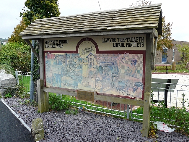
Image: © Rose and Trev Clough Taken: 14 Oct 2008
The walk goes south west from Pontyates, across reclaimed land, which until fairly recently was an open cast coal mine http://www.sirgaerfyrddin.gov.uk/English/leisure/countryside/Walking/Documents/Pontiets%20Walks.pdf . The trail runs adjacent to a section of the disused Burry Port and Gwendraeth Valley Railway http://www.geograph.org.uk/photo/1403440 . The board is outside the garden of the Pontyates Welfare Hall.
Images are licensed for reuse under creativecommons.org/licenses/by-sa/2.0
Image Location
Latitude
51.752713
Longitude
-4.217734