Disused railway line, Pontyberem
Introduction
The photograph on this page of Disused railway line, Pontyberem by Rose and Trev Clough as part of the Geograph project.
The Geograph project started in 2005 with the aim of publishing, organising and preserving representative images for every square kilometre of Great Britain, Ireland and the Isle of Man.

There are currently over 7.5m images from over 14,400 individuals and you can help contribute to the project by visiting https://www.geograph.org.uk
Disused railway line, Pontyberem
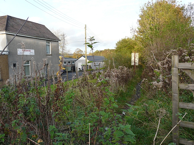
Image: © Rose and Trev Clough Taken: 15 Oct 2008
This was part of the Burry Port and Gwendraeth Valley Railway, constructed in the 19th century to transport coal down the valley. During the 20th century it also carried passengers, but the service ceased in 1953. Coal freight continued until 1996, when the mines were closed (Railway information was found here - http://www.colonelstephenssociety.co.uk/BPGVLR.html ).
Images are licensed for reuse under creativecommons.org/licenses/by-sa/2.0
Image Location


Leaflet Map data © OpenStreetMap
Latitude
51.780878
Longitude
-4.163661