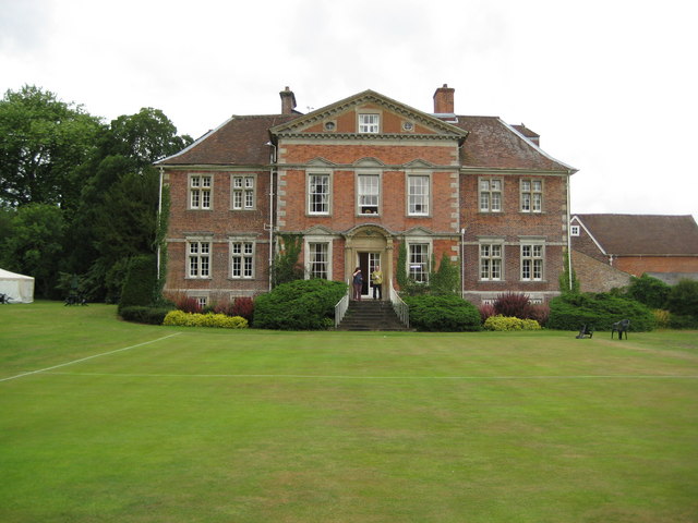
Urchfont Manor (2)
Introduction
The photograph on this page of Urchfont Manor (2) by Nigel Cox as part of the Geograph project.
The Geograph project started in 2005 with the aim of publishing, organising and preserving representative images for every square kilometre of Great Britain, Ireland and the Isle of Man.
There are currently over 7.5m images from over 14,400 individuals and you can help contribute to the project by visiting https://www.geograph.org.uk

Image: © Nigel Cox Taken: 10 Jul 2009
This is the east façade of the manor house, whose history is briefly told here Image This side of the building, although built only about nine years after the original house, is markedly different, its seven bays with a pediment over the three central ones in the then very modern Wren or Queen Anne style being designed to create the impression that the house was much larger than it really was. The rear of the north end of this extension can be seen in the other image and demonstrates the difference between the two parts of the building. The manicured lawn in front is a croquet pitch.

