The Culcavey Road, Hillsborough
Introduction
The photograph on this page of The Culcavey Road, Hillsborough by Albert Bridge as part of the Geograph project.
The Geograph project started in 2005 with the aim of publishing, organising and preserving representative images for every square kilometre of Great Britain, Ireland and the Isle of Man.

There are currently over 7.5m images from over 14,400 individuals and you can help contribute to the project by visiting https://www.geograph.org.uk
The Culcavey Road, Hillsborough
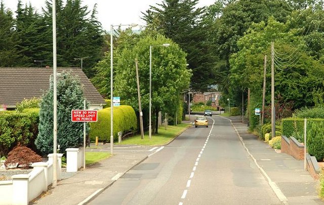
Image: © Albert Bridge Taken: 14 Jul 2009
The Culcavey (also “Culcavy”) Road runs from the Lisburn Road to the much-expanded village beyond the bypass flyover (just visible at middle right).
Images are licensed for reuse under creativecommons.org/licenses/by-sa/2.0
Image Location
Latitude
54.468703
Longitude
-6.085587