Broad Belt
Introduction
The photograph on this page of Broad Belt by Hugh Venables as part of the Geograph project.
The Geograph project started in 2005 with the aim of publishing, organising and preserving representative images for every square kilometre of Great Britain, Ireland and the Isle of Man.

There are currently over 7.5m images from over 14,400 individuals and you can help contribute to the project by visiting https://www.geograph.org.uk
Broad Belt
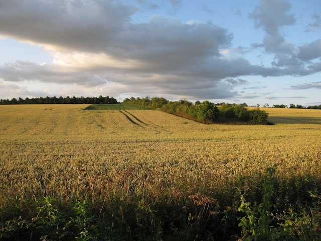
Image: © Hugh Venables Taken: 12 Jul 2009
Ripening field of wheat. The green patch (with a matching area the other side) is maize as a cover crop for rearing game birds, rather than growing food for humans. There were several hares enjoying the area.
Images are licensed for reuse under creativecommons.org/licenses/by-sa/2.0
Image Location
Latitude
52.187336
Longitude
0.351683