Hillside meadow at Longridge
Introduction
The photograph on this page of Hillside meadow at Longridge by Trevor Rickard as part of the Geograph project.
The Geograph project started in 2005 with the aim of publishing, organising and preserving representative images for every square kilometre of Great Britain, Ireland and the Isle of Man.

There are currently over 7.5m images from over 14,400 individuals and you can help contribute to the project by visiting https://www.geograph.org.uk
Hillside meadow at Longridge
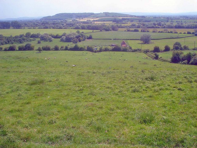
Image: © Trevor Rickard Taken: 4 Jun 2009
View east across the Severn Valley to Sandhurst Hill. The Longridge lane runs behind the hedge at the bottom of this field and the river runs along the tree line beyond a further three fields.
Images are licensed for reuse under creativecommons.org/licenses/by-sa/2.0
Image Location
Latitude
51.918331
Longitude
-2.280278