Subway beneath M27 south of junction 7
Introduction
The photograph on this page of Subway beneath M27 south of junction 7 by Peter Facey as part of the Geograph project.
The Geograph project started in 2005 with the aim of publishing, organising and preserving representative images for every square kilometre of Great Britain, Ireland and the Isle of Man.

There are currently over 7.5m images from over 14,400 individuals and you can help contribute to the project by visiting https://www.geograph.org.uk
Subway beneath M27 south of junction 7
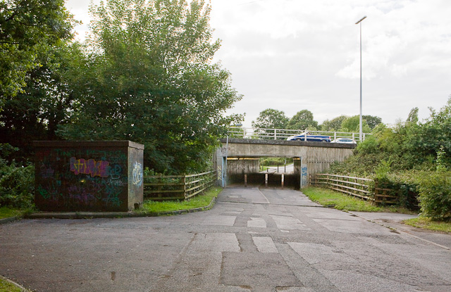
Image: © Peter Facey Taken: 14 Jul 2009
The M27 cut Upper Northam Drive in two, and the part on the near (east) side of the M27 became Upper Northam Close. The hut on the left houses an 11KV/400 electricity substation.
Images are licensed for reuse under creativecommons.org/licenses/by-sa/2.0
Image Location
Latitude
50.911154
Longitude
-1.319487