Tamar Road, Brickhill, Bedford
Introduction
The photograph on this page of Tamar Road, Brickhill, Bedford by Rich Tea as part of the Geograph project.
The Geograph project started in 2005 with the aim of publishing, organising and preserving representative images for every square kilometre of Great Britain, Ireland and the Isle of Man.

There are currently over 7.5m images from over 14,400 individuals and you can help contribute to the project by visiting https://www.geograph.org.uk
Tamar Road, Brickhill, Bedford
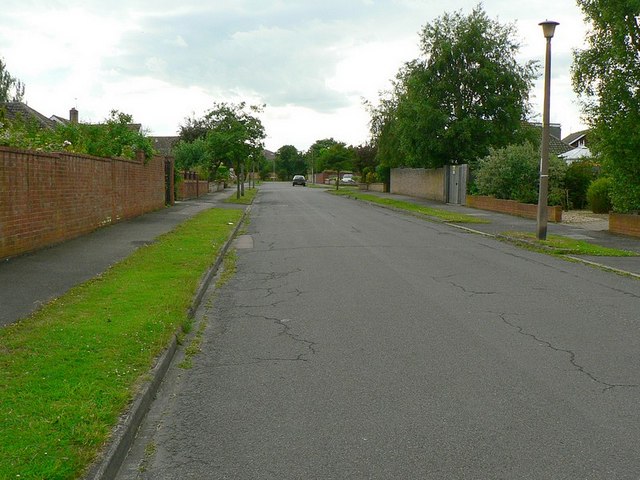
Image: © Rich Tea Taken: 19 Jun 2009
Looking from the junction with Kimbolton Road. The road was built in the late 1950's, as I was growing up in a house in Kimbolton Road. I remember watching from my bedroom window, and seeing the hedge sway as a bulldozer bumped it. It was clearing topsoil, and the hedge was only removed when the road was part built.
Images are licensed for reuse under creativecommons.org/licenses/by-sa/2.0
Image Location
Latitude
52.158931
Longitude
-0.454356